Tully Plantation Castle / Caisleán na Tulaí 17th Century Castle and Bawn The King James I began the Plantation of Ulster in the early 17th century, Protestants from England and Scotland were settled on land that was confiscated from the native Gaelic chiefs. Fermanagh has some of the best examples of Plantation Castles in the province. The castles at Portora and Enniskillen are located on the banks of the River Erne, Tully Castle, Crevenish Castle, Castle Caldwell, and Old Castle Archdale were built on the shores of Lower Lough Erne and Crom Castle on the shore of Upper Lough Erne. The two finest examples are probably, Castle Balfour at Lisnaskea and Monea Castle, which is situated just seven miles north-west of Portora.
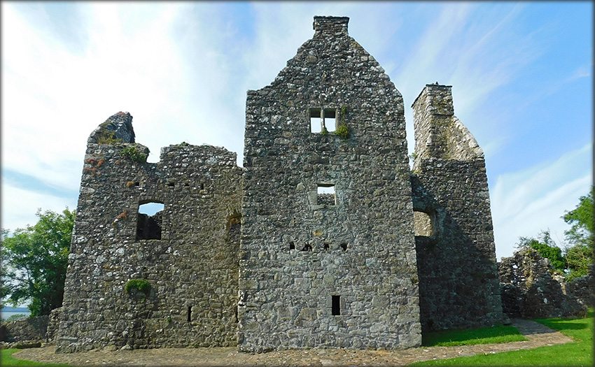
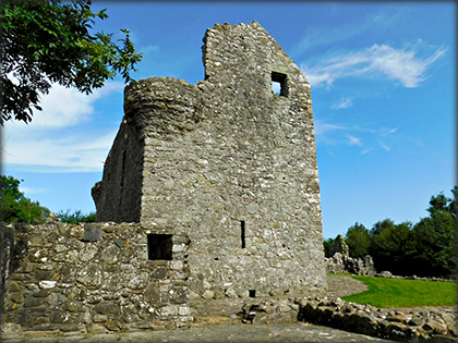
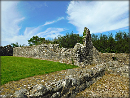
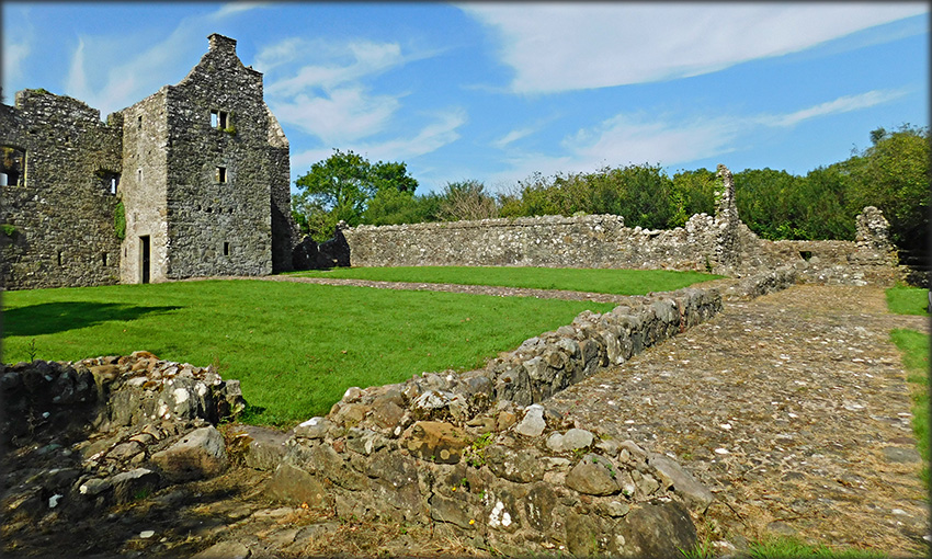
Tully Castle or Caisleán na Tulaí meaning "Castle on the Hill" was built on the highest point of a promontory on the the western shore of the Lower Lough for Sir John Hulme, a Scottish undertaker from Berwickshire, sometime between 1610 to 1615 approx. It is a Scottish style house built by Irish stonemasons and follows the same T-Layout that was used for the plantation castles at Castle Balfour and Kilwaughter in County Antrim. The castle/house stands at the northern side of a 24 metre square bawn, with 4 metre high walls and four square corner towers/flankers. The rectangular house is roughly 15 metres long by 4.5 metres wide with a 3.5 metre square projection on the southside. The projection contained an entrance on the west side and a wooden staircase that led to the first floor. There are two round bartizans on the east and west corners of the north wall on the first floor, see image below left. |
|
|---|---|
|
|
The castle was occupied for a very short period, on Christmas day, during the Irish rebelion in 1641, it was attacked by Rory Macguire and surrendered to him by Lady Hulme. All the local villagers who had taken refuge in the castle were massacred by the rebels, only the Hulmes were spared. The castle which was was pillaged and burnt has remained ruined since.
|
|
Situated: From Enniskillen head NW on the A46 for about 18 kilometres, then turn right onto Lough Shore Road, sign-posted for Tully Castle. The parking area for the castle is about 1 kilometre down this road. Discovery Map 17: H 12661 56618. Last visit July 2026. Longitude: 7° 48' 19.8" W Latitude: 54° 27' 28.9" N Photos: José Gutiérrez. |
|
Ref: Northern Ireland Sites and Monuments Record website. Ref: Waterman, D. M. “Tully Castle, Co. Fermanagh.” Ulster Journal of Archaeology, vol. 22, 1959, pp. 123–26. JSTOR, http://www.jstor.org/stable/20567540 |
|
Previous----Home-----Next Page